The BLUE BALANCE project is a multi-faceted project that aims to strengthen public awareness, involvement, and understanding in the sustainable transition of the Flemish coastal area. By engaging residents and visitors in dialogue with local industry, stakeholders, and policymakers, the project seeks to build broad societal support for sustainable economic and environmental activities by developing multiple usecases around these themes. Using a multidisciplinary approach that brings together communication sciences, marine sciences, heritage studies, and digital arts, BLUE BALANCE explores how people relate to the coast, which values shape their attitudes, and how these can be meaningfully connected to sustainable innovation. The project also maps the stakeholder landscape and tests communication and participation strategies to foster constructive dialogue and support a shared, sustainable future for the Flemish coast. For this DAER developed visuals relating the the past, present and future of our coast in the usecase “The Spioenkop throughout time” to test the best communicative approach to addres changes happening to our coastal landscape.
In this first use case the emphasis was put on coastal transition. There, the focus was put on contextualising this transition by showing how our coast evolved through time. For this, a critical point of the coast was chosen, Wenduine. The location allowed us to show a variety of elements from its viewpoint, the Spioenkop. From the Spioenkop, various natural and human elements can be seen in the landscape. We were inspired to create visuals for the past from the exact point of view of someone standing on the Spioenkop. This “viewpoint” allows viewers to immerse themselves in the past while comparing it to the current landscape.
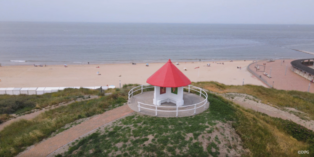
Spioenkop, Wenduine (credits image DPG)
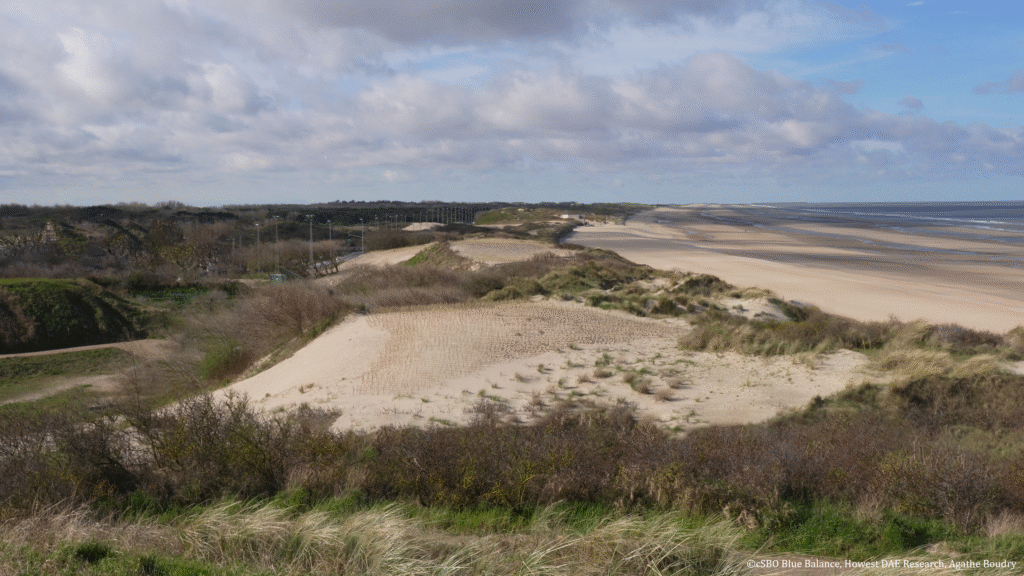
Due to the circular design of the Spioekop, multiple viewing angles could be chosen. However, due to time constraints only two angles could be reconstructed to either show the past or the future. For the past, we chose to focus on the left side of the Spioenkop as it has many natural elements which can illustrate the evolution of the natural landscape the best as this changed the most drastically in comparison to modern times.
View from the Spioenkop (left)
To illustrate the past, two time periods were selected, 300-200 n.C. and 1600 n.C., for their crucial role in the coastal evolution of this landscape. Both timespans are rich in history and excellent examples to show the interaction and consequent influence between nature and humans.
Below, you can see the visualizations of both time periods along with relevant close ups that zoom in on the details of life at those specific locations and times.
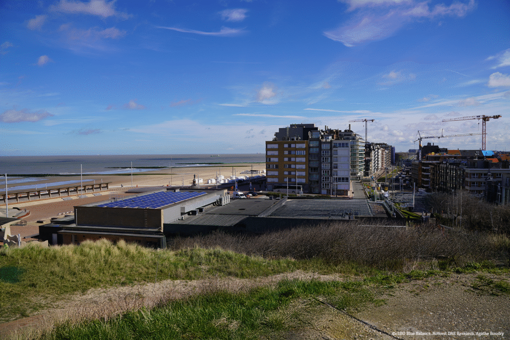
In contrast to the left side of the Spioenkop, the right side mainly consists of buildings. These provide the ideal canvas to illustrate future changes to our landscape, as they are expected to undergo the most drastic transformation. Historically, the landscape evolved from a largely natural, flat terrain with gullies into a coastal plain with dunes, as previously shown on the left. In contrast, on the right, most buildings are expected to remain in the future, but they will need to be adapted to accommodate rising sea levels and changing environmental conditions.
View from the Spioenkop (right)
To further contextualise the changes of our coast and the influence this will have on our future, we made images suggesting 3 possible future scenarios. These visuals were formed based on information from Kustvisie regarding possible future scenarios but remain hypothetical. They are intended to visually explore possible outcomes rather than to serve as predictions. The content is provisional and may be subject to change based on evolving insights, partner feedback, and further scientific validation.
The images below show possible future situations where the sea level rises by up to one metre. They explore different ways of responding to this change, such as building a (commercial) dike or a dune, as well as a scenario where the current landscape is left unchanged, leading to flooding.
To better protect our coast from the increasing risk of flooding, new vegetated dunes can be created in vulnerable areas. To keep these dunes stable, the beach would need to be widened by shifting the coastline seaward. In addition, the dunes provide extra space for nature and recreation.